Children's Village Liberia
Westafrika Liberia

The banner with its horizontal red and white stripes resembles the US banner, although with 11 instead of 13 stripes. It also shows the blue area in the left upper corner showing 1 big star instead of 50 little stars.
Liberia's capital is named Monrovia after the US president James Monroe who declared the colonisation of the New World to be over.
The currency is the Liberian Dollar, the official lenguage is English.
Geography And Climate
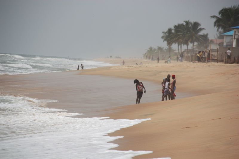
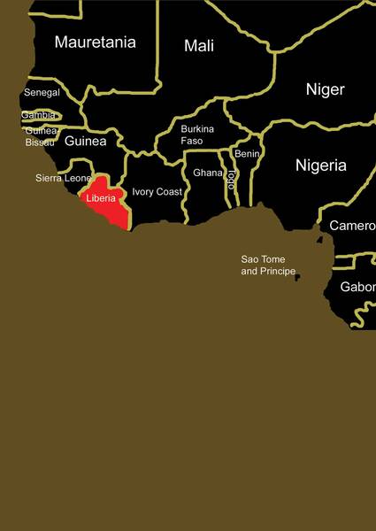
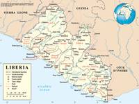
Liberia is situated on the west coast of Africa. A surface of 111'370 square kilometres is inhabited by about 3'000'000 people, 46 % live in the cities.
In comparison: Germany 357'057, England 130'423, Austria 83'871 square kilometres.
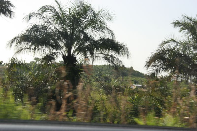
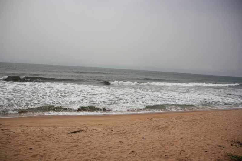
Liberia has tropical climate with approx. 80 % humidity and steady high temperatures between 26∞ on the coast and 20∞ on the highest mountains. The rainy season ends in December. The dry period lasts from December to March. The coastal area with 4'000 to 5'000 mm rain per year is one of the most rainy coastal regions in the world (in comparison Basle 800 mm/year, Germany 790 mm/year).
The land is divided by a multitude of rivers with greatly fluctuating water-levels, navigable only for a few kilometres up from the coast. The highest mountains are in the north west in Nimba Range (1'700 metres), besides there are several low mountain areas parallel to the coast. There are many swamps in the coastal area. The north west is bordered by Sierra Leone, the north by Guinea and the east by Còte d'Ivoire.
The land is divided by a multitude of rivers with greatly fluctuating water-levels, navigable only for a few kilometres up from the coast. The highest mountains are in the north west in Nimba Range (1'700 metres), besides there are several low mountain areas parallel to the coast. There are many swamps in the coastal area. The north west is bordered by Sierra Leone, the north by Guinea and the east by Còte d'Ivoire.
The highest mountains are in the north west in Nimba Range (1'700 metres), besides there are several low mountain areas parallel to the coast. There are many swamps in the coastal area. The north west is bordered by Sierra Leone, the north by Guinea and the east by Còte d'Ivoire.